Vine Canopy Reconstruction and Assessment with Terrestrial Lidar and Aerial Imaging
The paper discusses using the W5500 Ethernet module to connect a Raspberry Pi Pico to a remote server for reliable communication in an agricultural context.
0
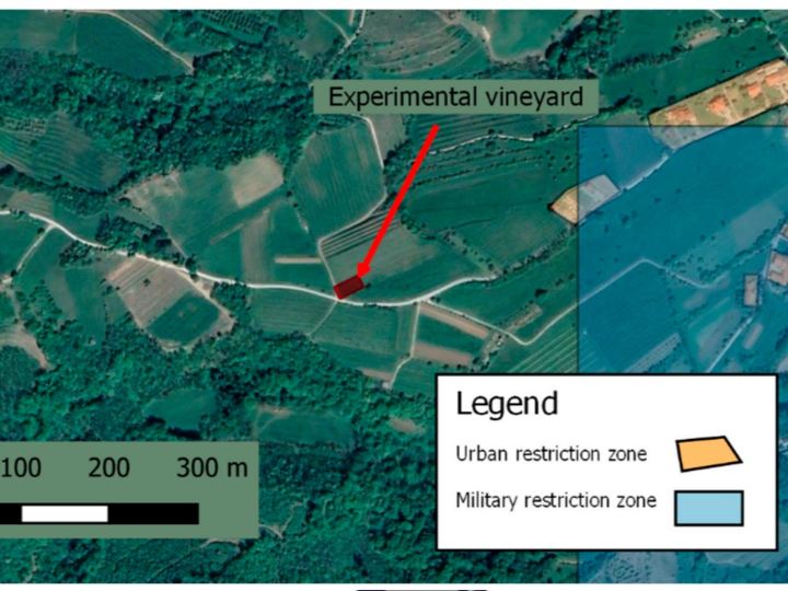
Components
Hardware components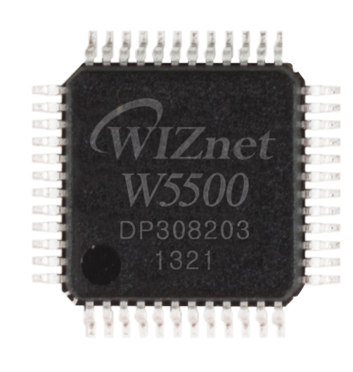
WIZnet - W5500
x 1

Project description
Methodology: Terrestrial Lidar System: The SICK LMS111 lidar sensor was used to characterize the vine canopies. It operated with a 0.5° angular resolution and 50 Hz acquisition rate, mounted at a height of 1.50 meters above the ground. Data Acquisition: The lidar data was collected using a microcontroller (Teensy 3.5) and an Ethernet module (W5500 from WIZnet Co., Ltd.). The data was processed and transmitted to an external portable computer for further analysis using Matlab. Aerial Photogrammetry System: UAS photogrammetry was employed to collect high-density point clouds, which were then…
Keep reading with a free account
Guests can read 15 projects per visit. Log in or create a free account to read the full description, open the documents and join the comments.

