Use ROS open source code and lidar to locate and navigate the car??Calculation of odometer information
Use ROS open source code and lidar to locate and navigate the car??Calculation of odometer information
0
Components
Hardware components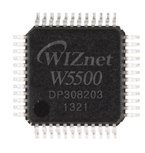
WIZnet - W5500
x 1

Project description
In the navigation and positioning, according to the information of the odometer, the gmapping algorithm is used to construct the map of the environment. The stm32F407 is used as the underlying drive control, and then a w5500 module is used to communicate with the computer host computer.
Keep reading with a free account
Guests can read 15 projects per visit. Log in or create a free account to read the full description, open the documents and join the comments.

