Vine Canopy Reconstruction and Assessment with Terrestrial Lidar and Aerial Imaging
The paper discusses using the W5500 Ethernet module to connect a Raspberry Pi Pico to a remote server for reliable communication in an agricultural context.

Methodology:
- Terrestrial Lidar System: The SICK LMS111 lidar sensor was used to characterize the vine canopies. It operated with a 0.5° angular resolution and 50 Hz acquisition rate, mounted at a height of 1.50 meters above the ground.
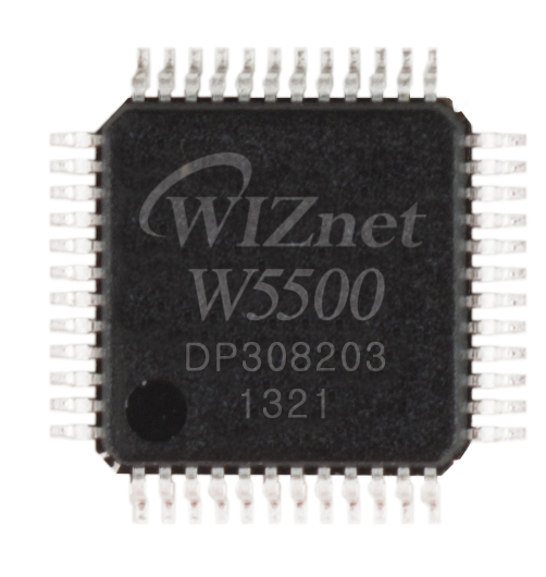
- Data Acquisition: The lidar data was collected using a microcontroller (Teensy 3.5) and an Ethernet module (W5500 from WIZnet Co., Ltd.). The data was processed and transmitted to an external portable computer for further analysis using Matlab.
- Aerial Photogrammetry System: UAS photogrammetry was employed to collect high-density point clouds, which were then compared to lidar measurements.
Results: The lidar measurements resulted in a total of 172,000 points for two vines, enabling detailed 3D reconstruction of the canopy. The study found strong correlations between lidar and photogrammetry data with manual measurements, showing the effectiveness of both methods in representing canopy characteristics.
Conclusion: The integration of terrestrial lidar and aerial imaging provides a comprehensive and accurate approach for vineyard canopy assessment. This method supports precision agriculture by improving the dosing accuracy of plant protection products.
Keywords: Precision agriculture, remote sensing, 3D point clouds, vineyard, canopy reconstruction, terrestrial lidar, aerial photogrammetry, manual defoliation
Publication Date: November 21, 2022
Authors: Igor Petrović, Matej Sečnik, Marko Hočevar, and Peter Berk
Journal: Remote Sensing, MDPI
DOI: 10.3390/rs14225894
Additional Notes: The study demonstrates the utility of WIZnet's W5500 Ethernet module in facilitating efficient data transmission from the lidar sensor to the processing unit, underscoring the module's role in enhancing agricultural technology applications.
Link to Full Text: MDPI Remote Sensing

